 English
Arctic sea ice 2026: preliminary minimum of 4.60 million km² ties for tenth lowest
NSIDC places the likely annual minimum on 12 September at 4.60 million km². It ties 2008, 2010 and 2025 for tenth lowest in the satellite record.
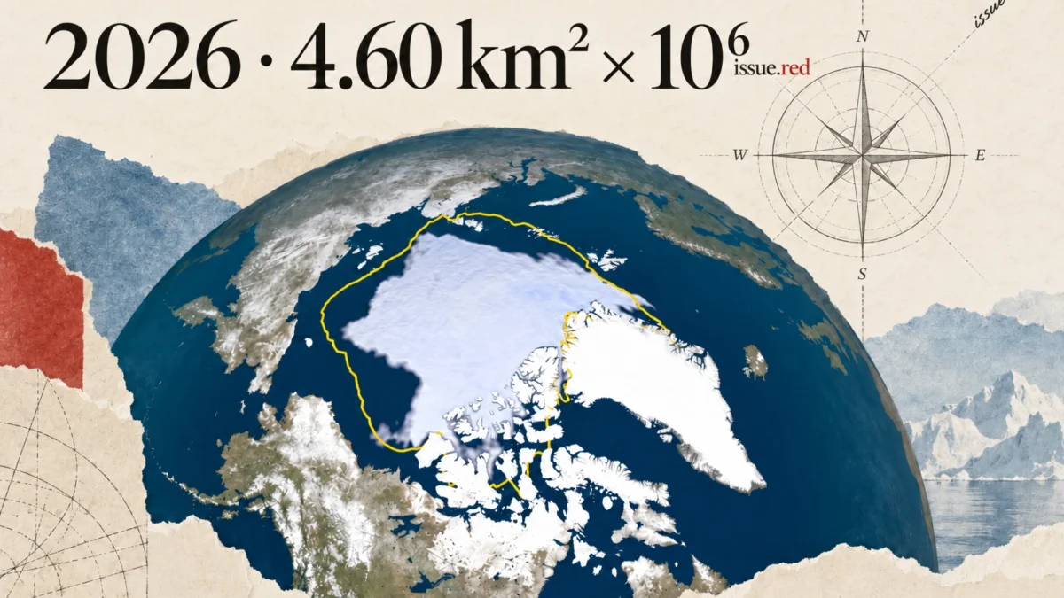
Arctic sea ice likely reached its 2026 minimum on 12 September, covering 4.60 million square kilometres, according to NSIDC’s 23 September analysis. NASA reports the same estimate and ranking: tied for tenth lowest with 2008, 2010 and 2025.
The relatively modest ranking does not mean a return to earlier conditions. The 20 lowest annual minima in the satellite record have all occurred from 2007 through 2026.
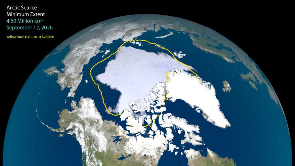
NSIDC cautions that the estimate is preliminary. Wind can compact scattered ice, while late-season melting can lower extent. Its annual minimum is based on a five-day average, rather than a single photograph or a measure of ice thickness.
The 2026 value is 1.21 million km² above the record minimum of 3.39 million km² in 2012, but 1.62 million km² below the 1981–2010 average minimum. These comparisons describe extent, not ice volume.
Extent comparisons
| Measure | Million km² |
|---|---|
| Likely 2026 minimum — 12 September | 4.60 |
| Record minimum in 2012 | 3.39 |
| 2026 shortfall from 1981–2010 average minimum | 1.62 |
NASA explains that weather and cloud cover contribute to differences between summers. Recent September minima have been relatively stable while remaining low compared with the early satellite record. The numbers below should therefore be read together with the longer-term context.
Sources
- Arctic sea ice minimum ties for tenth lowest — 23 September 2026 — National Snow and Ice Data Center
- Arctic Sea Ice Reaches 2026 Annual Minimum Extent — NASA Science
- Arctic Sea Ice Minimum 2026 — visualization and credits — NASA Scientific Visualization Studio